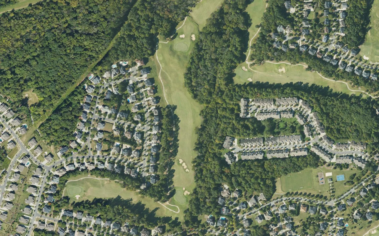
Clarke Creek is east Huntersville south of Huntersville-Concord Road near the Cabarrus line, in ZIP code 28078, zoned mostly for North Mecklenburg High.
Last checked Oct. 11, 2026. Sources: the Town of Huntersville’s Clarke Creek Small Area Plan page and plan document (PDF), OpenStreetMap store listings, Charlotte-Mecklenburg Schools’ 2026-27 feeder boundaries as published by Mecklenburg County, the N.C. Department of Public Instruction’s 2025-26 accountability data, Mecklenburg County’s park and bus stop data and Zillow Research.
Clarke Creek is the town’s name for a stretch of east Huntersville south of Huntersville-Concord Road, near the Cabarrus County line. The town’s Clarke Creek Small Area Plan, adopted March 5, 2018, covers 660 acres bounded by Huntersville-Concord Road on the north, the future Verhoeff Drive on the south, the Metrolina Greenhouse, the Skybrook subdivision and the planned Prosperity Church Road extension on the east, and transitional residential land on the west. When the plan was written the study area was in the town’s extraterritorial jurisdiction, mostly zoned rural, and its creeks, conservation land and terrain made development harder. Homes here are in ZIP code 28078.
What this means for you
- Zoned high school: North Mecklenburg High for 91% of parcels, 54.6% of state tests at grade level in 2025-26. Check yours on the county’s GeoPortal school lookup.
- Home value: $537,945 in ZIP code 28078 in August 2026, according to the Zillow Home Value Index.
- Nearest freeway exit: I-77 Exit 23, Gilead Road, about 5 miles by road from Huntersville-Concord Road at the north edge; from homes in the middle of the area, I-485 Exit 26, Prosperity Church Road, is about 8.4 miles.
Part of our Huntersville neighborhoods guide.
Where it is
The plan describes the study area as sitting where an existing thoroughfare and a planned one meet, with sewer, water and electric service available, which it says creates “significant development pressure.” It points to steady residential growth nearby, including Skybrook to the southeast and new subdivisions along Huntersville-Concord Road and Eastfield Road.
This guide counts the 1,523 tax parcels inside town limits east of Pottstown, between Huntersville-Concord Road and the Eastfield Road area. Town limits here are patchy, with unincorporated county land in between, so check whether an address is in town before you compare tax bills.
Schools
The area is in Charlotte-Mecklenburg Schools. We placed every parcel on the district’s 2026-27 feeder boundaries, which Mecklenburg County publishes:
| Level | School | Share of parcels | At grade level | Growth |
|---|---|---|---|---|
| Elementary | Blythe Elementary, 12202 Hambright Road | 91% | 68.2% | Exceeded |
| Elementary | Huntersville Elementary, 200 Gilead Road | 9% | 80.4% | Exceeded |
| Middle | J.M. Alexander Middle, 12010 Hambright Road | 91% | 40.7% | Not met |
| Middle | Bailey Middle, 11900 Bailey Road, Cornelius | 9% | 79.6% | Met |
| High | North Mecklenburg High, 11201 Old Statesville Road | 91% | 54.6% | Exceeded |
| High | William Amos Hough High, 12420 Bailey Road, Cornelius | 9% | 82.9% | Exceeded |
Scores are the share of state tests at grade level or above in 2025-26 and the state’s growth rating, from the accountability data. The Hough share is at the west end, near Huntersville-Concord Road. The CMS figure for all its schools was 60.9%. Zones change; check your own address on the GeoPortal or call CMS Student Placement at 980-343-5335. More in our schools guide.
Home values
Zillow publishes no figure for Clarke Creek. The Zillow Home Value Index is a modeled typical value for the middle third of homes, not a sale price.
| Area | August 2026 | August 2025 | Change |
|---|---|---|---|
| ZIP code 28078 | $537,945 | $535,683 | +0.4% |
| Town of Huntersville, for comparison | $546,644 | $544,057 | +0.5% |
ZIP code 28078 covers almost all of Huntersville, so the figure is not Clarke Creek’s alone. Trends are on our home prices page.
Parks and trails
The county’s park data lists Oehler Nature Preserve, 14511 Huntersville-Concord Road, a county preserve listed as undeveloped, on the area’s north side. The county’s greenway data shows no greenway in this part of town. For developed parks nearby, see R.C. Bradford Park to the north and our parks and trails guide.
Getting around
- I-77: Exit 23 at Gilead Road is about 5 miles by road from Huntersville-Concord Road at the area’s north edge.
- I-485: Exit 26 at Prosperity Church Road is about 8.4 miles by road from a point near the middle of the area’s homes.
- Downtown Huntersville: about 4.1 miles by road from the north edge, about 8.6 miles from the middle of the area’s homes.
- Charlotte Douglas International Airport: about 26.7 miles by road from the middle of the area.
- Buses: county stop data lists no CATS stops in or near this area; see ridetransit.org.
Distances were measured with the OSRM routing engine on OpenStreetMap roads. They are distances, not drive times. The longer figures reflect how the streets inside the area connect to the main roads. More in our getting around guide.
Groceries and everyday stores
OpenStreetMap lists no supermarket or pharmacy inside the area. The nearest it lists is a Harris Teeter at 9900 Poplar Tent Road, east of the county line, and the Publix at 15010 Village Crossing Road off N.C. 73.
Frequently asked questions
Where is Clarke Creek in Huntersville?
In east Huntersville near the Cabarrus County line. The town’s Clarke Creek Small Area Plan, adopted March 5, 2018, covers 660 acres south of Huntersville-Concord Road, west of the Metrolina Greenhouse, the Skybrook subdivision and the planned extension of Prosperity Church Road.
What schools serve Clarke Creek?
In Charlotte-Mecklenburg Schools’ 2026-27 feeder data, 91% of parcels inside town limits in this area are zoned for Blythe Elementary, J.M. Alexander Middle and North Mecklenburg High. About 9%, at the west end near Huntersville-Concord Road, are zoned for Huntersville Elementary, Bailey Middle and William Amos Hough High.
What is the typical home value in Clarke Creek?
The area is in ZIP code 28078, where the Zillow Home Value Index was $537,945 in August 2026, up 0.4% from August 2025.
How far is Clarke Creek from downtown Huntersville?
About 4.1 miles by road from Huntersville-Concord Road at the area’s north edge. From the middle of the area’s homes, the route is about 8.6 miles, according to our measurement on OpenStreetMap roads.
Have your say