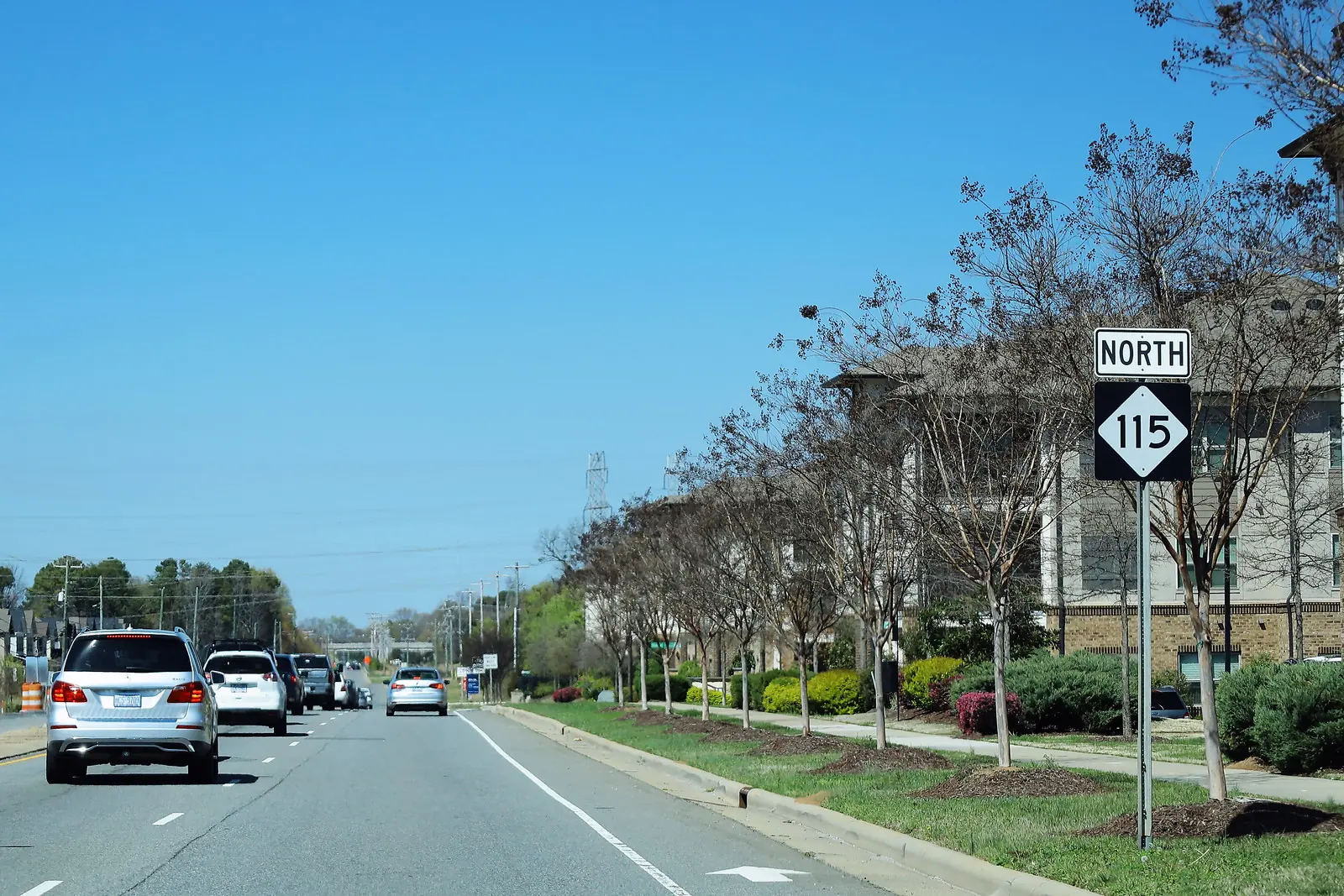
I-77 serves Huntersville at Exits 19, 23 and 25. CATS express buses leave two park-and-ride lots. Charlotte Douglas airport is about 14 miles southwest.
Last checked Oct. 11, 2026. Facts come from the N.C. Department of Transportation, the Town of Huntersville’s transit and parking pages, and Mecklenburg County’s CATS route and stop data.
Huntersville sits along Interstate 77, about 14 miles from Charlotte. Three I-77 interchanges serve it, and its numbered highways, N.C. 73, N.C. 115 (Old Statesville Road) and U.S. 21 (Statesville Road), belong to NCDOT. Buses come from the Charlotte Area Transit System (CATS). Town transportation questions: Engineering and Public Works, 704-875-7007.
Before you go
- Live traffic and closures: dial 511 or visit DriveNC.gov
- Bus routes and trip planner: CATS, ridetransit.org
- Current road work: our road construction page, updated weekly
Interstate 77 exits
| Exit | Road | Where |
|---|---|---|
| 19 | I-485 and N.C. 115 | South end of town |
| 23 | Gilead Road | Middle of town, near downtown |
| 25 | N.C. 73 (Sam Furr Road) | North end, at the Cornelius line |
NCDOT’s $30.8 million project at Exit 23 Gilead Road converts the interchange to a diverging diamond and widens Statesville Road (U.S. 21) to four lanes on either side, its 2023 announcements said. Interstate 485 meets I-77 at Exit 19.
Main local roads
- N.C. 73 (Sam Furr Road): the east-west highway at the north end of town; to the west it crosses the Catawba River at Cowan’s Ford.
- N.C. 115 (Old Statesville Road): north-south through downtown to Cornelius and Davidson.
- U.S. 21 (Statesville Road): north-south alongside I-77.
- Gilead Road: east-west across the middle of town, through downtown.
- Beatties Ford Road: the only continuous north-south route in western Huntersville between N.C. 73 and central Charlotte, between I-77 and the Catawba River, the town says.
Buses: CATS
The town says CATS provides public transit in Huntersville, and the town has a vote on CATS’ governing board, the Metropolitan Transit Commission. County stop data lists these CATS routes at stops inside town limits: 48X, 63X, 177 and 59. The county’s route file names the services that reach Huntersville as the Huntersville Express, North Mecklenburg Express, Northcross Express, North Meck Midday and UNC Charlotte/Huntersville.
Two park-and-ride lots have shelters:
| Lot | Routes listed |
|---|---|
| Huntersville Gateway Park & Ride | 177, 63X |
| Northcross Park & Ride | 177, 48X |
Schedules, fares and the trip planner are on ridetransit.org. SNAP recipients in north Mecklenburg can book free microtransit rides to farmers markets through the CATS Pass app; see our farmers markets guide.
The airport
Charlotte Douglas International Airport is about 14 miles southwest of the center of Huntersville in a straight line, by our measurement from county map data. The usual routes are I-77 south to I-485 west, or Beatties Ford Road south.
Biking and walking
County trail data shows about 12.8 miles of greenways, urban trails and natural-surface trail inside town limits, including the McDowell Creek and Torrence Creek greenways and the Huntersville Downtown Greenway. The Lake Norman Bike Route is linked from the town’s greenway and bikeway page. The town said Sept. 29 that the Board of Commissioners had adopted an e-bike ordinance; details are on the town’s news page. On Central Avenue in Pottstown, people walking and biking have the right of way on the new advisory shoulders. See parks and trails.
Parking downtown
The town says there is ample public parking within walking distance of Town Hall, 14704 N. Old Statesville Road, and lists these lots for downtown events:
- Town Center parking garage, 105 Gilead Road
- Huntersville Elementary, 200 Gilead Road
- Downtown greenway trailhead, 102 Gilead Road
The town’s parking ordinance bans parking on sidewalks, in front of driveways, within 15 feet of a hydrant, within 20 feet of a crosswalk at an intersection, within 30 feet of a stop sign or signal, in fire lanes and facing against traffic. “No Parking” and time limits apply where signs are posted. Neighborhoods can ask for parking limits through the town’s traffic and parking request process with Engineering, 704-875-7007.
What this means for you
- Use Exit 23 for downtown, Exit 25 for N.C. 73 and Northcross, Exit 19 for I-485.
- Commuting to Charlotte? Park free at Huntersville Gateway or Northcross and ride CATS.
- Check DriveNC before you drive; I-77 work is frequent.
More: road construction and closures and moving to Huntersville.
Frequently asked questions
What I-77 exits serve Huntersville?
Exit 19 for I-485 and N.C. 115 at the south end of town, Exit 23 for Gilead Road in the middle and Exit 25 for N.C. 73 (Sam Furr Road) at the north end, according to NCDOT.
Is there a bus from Huntersville to Charlotte?
Yes. CATS runs express buses from the Huntersville Gateway and Northcross park-and-ride lots, and local service on routes such as 177 and 59. Plan trips on ridetransit.org.
How far is the airport from Huntersville?
Charlotte Douglas International Airport is about 14 miles southwest of the center of Huntersville in a straight line, reached by I-77 and I-485 or by Beatties Ford Road.
Where can I park in downtown Huntersville?
The town points to the Town Center parking garage at 105 Gilead Road and other public parking within walking distance of Town Hall. Town rules ban parking on sidewalks, within 15 feet of a hydrant and within 20 feet of a crosswalk at an intersection.
Have your say