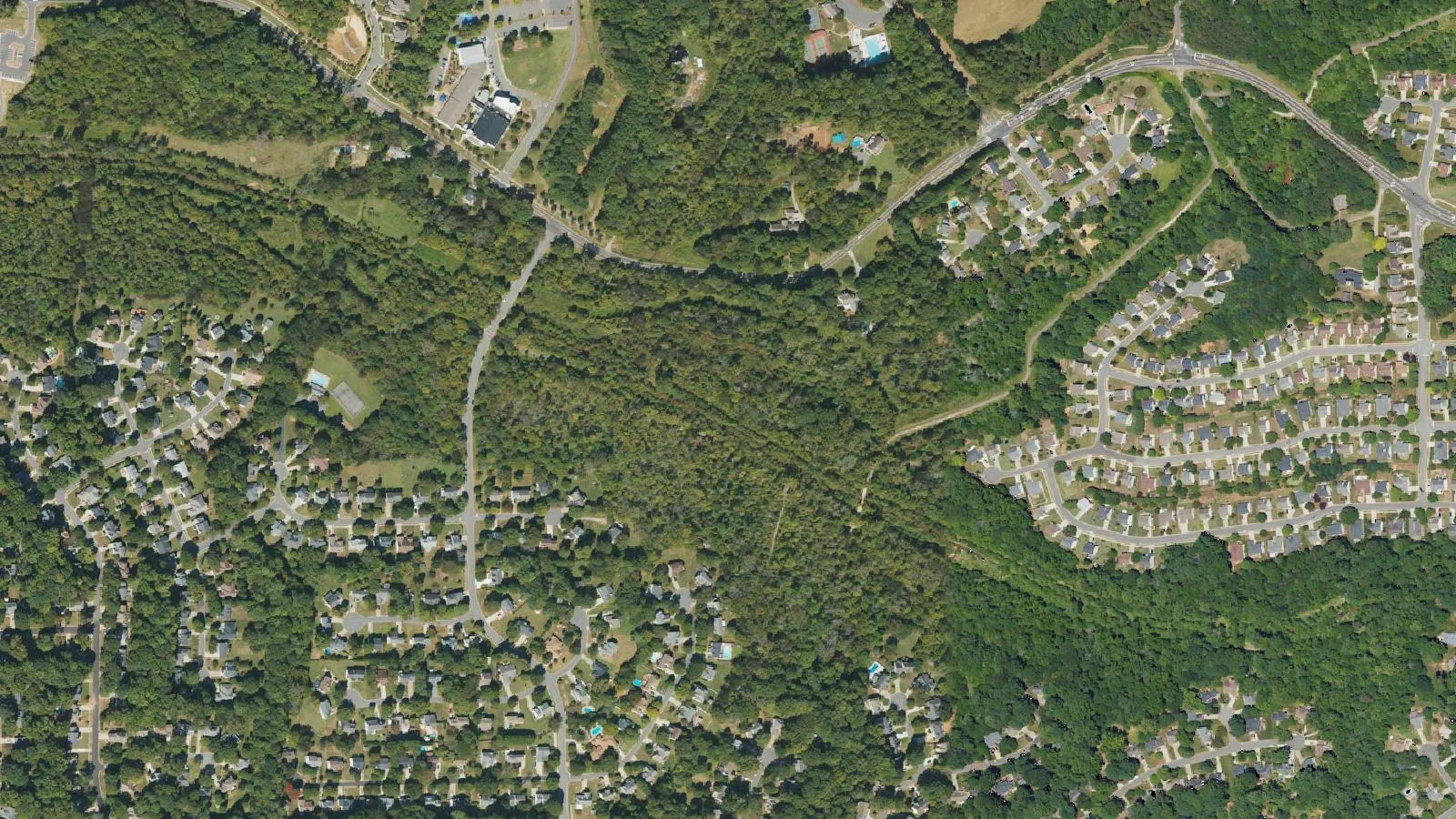
Huntersville is drawing up a Green Network Master Plan to link its creeks, greenways and parks. Drop in from noon to 6 p.m. Tuesday, Nov. 10, at the town offices to see it and comment.
Huntersville is writing a plan to protect and connect its creeks, greenways, parks and wildlife habitat as the town grows. The public gets its first look at an open house Tuesday.
Drop in any time from noon to 6 p.m. Tuesday, Nov. 10, at Town Hall, 14704 N. Old Statesville Road. People can come and go, learn about the plan, ask questions and share ideas, the town said in its announcement posted Nov. 5.
What the plan covers
The town calls it the Green Network Master Plan. It builds on the town’s 2040 Community Plan, which backs protecting natural resources and giving people more ways to get outdoors.
The town says the green network includes:
- stream corridors and waterways, including Torrence Creek and McDowell Creek
- existing and future greenways and trails
- parks, protected land and managed natural areas
- natural paths that let wildlife move safely between habitats
- land along streams that protects water quality and reduces flooding
- open space in neighborhoods and new developments
Why it matters for development
The center of the project is a Green Network Corridor Map. It shows where natural areas are and how they could be connected.
The town said the map will guide its decisions about protecting trees, streams and open space as new development takes place. The town’s stated goal is to support growth while protecting the natural features of the town.
The town has not published a draft map or a date for a Town Board vote.
What it means for you
- If you use the greenways: this is the moment to say which links are missing, such as a gap between your neighborhood and the Torrence Creek or McDowell Creek greenways.
- If you live near a creek or open land: the corridor map may mark land near you. Go and look at it in person.
- If you cannot make it Tuesday: contact the town through huntersville.org and ask how to comment on the plan.
Our parks and trails guide lists the town’s greenways and where they start. Rezonings that could be affected go through the process on our building permits and zoning page.
Have your say